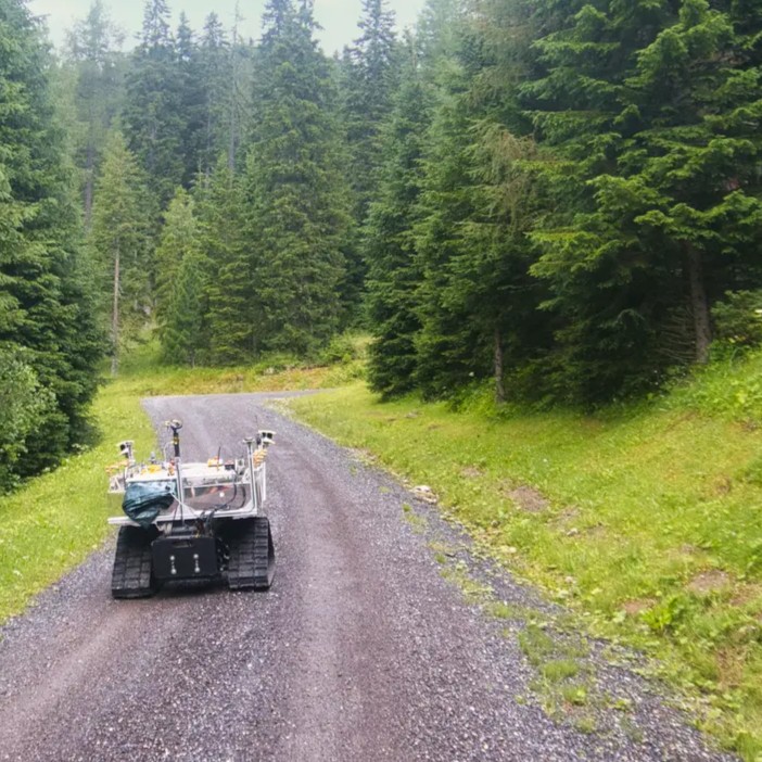


At ARTI, autonomous technologies are our core expertise. We joined the hackathon with a specific idea: give our younger colleagues the opportunity to start with our modular technology and adapt it to the event’s technical requirements under a tight deadline. It was a chance to see the modularity and rapid integration of our software in action.
From 15 to 17 October 2026, ARTI took part in the EUDIS Defence Hackathon in Klagenfurt, Austria. Our colleagues Christoph and Ivan brought CHASI to the GNSS-Denied Navigation Challenge. Christoph focused on the technical work, while Ivan handled the coordination aspects.
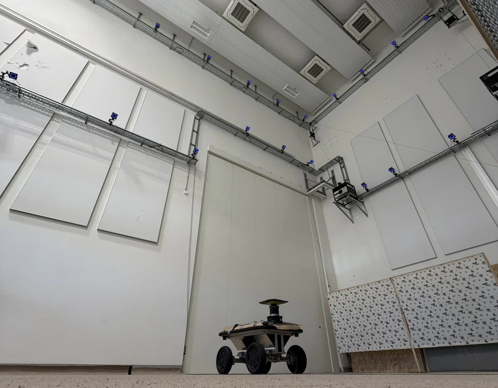
The challenge was a question that matters well beyond the hackathon: how can an autonomous vehicle find its way when satellite positioning is unavailable or disrupted? The task was to navigate a defined course without GNSS, using the robot’s own navigation capabilities. In the indoor test area, CHASI had to follow a route through a compact layout of turns and narrow passages. An external OptiTrack system measured its position and provided the reference against which localisation performance could be assessed.
Day 1: An Unexpected Start
We had barely started setting up when our team ran into our first issue. The test facility used an OptiTrack system with infrared cameras to track the vehicle and provide an external reference for evaluating its performance. CHASI, however, had arrived without its usual outer cover. The exposed chassis was too reflective for the infrared tracking setup.
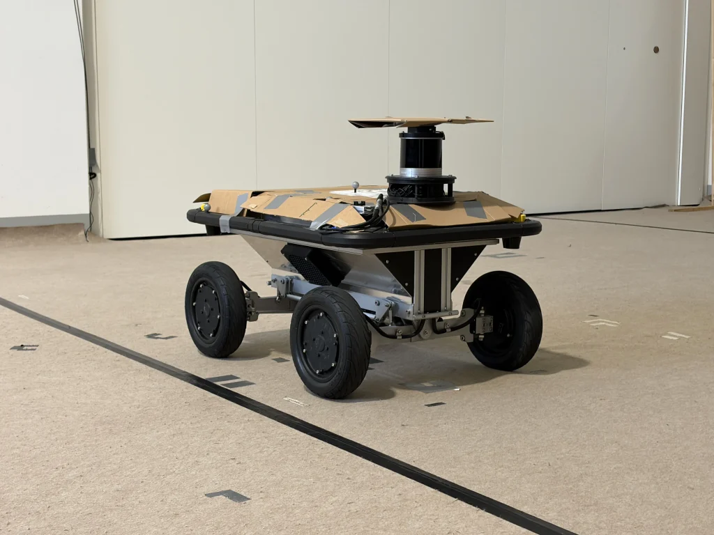
The solution was decidedly low-tech: cardboard, foil, and tape to cover reflective surfaces, plus a small cardboard “hat” for the LiDAR sensor. It wasn’t elegant, but it was exactly the sort of practical fix a hackathon calls for.
There was also some practical software integration to take care of as well. It was necessary to adapt CHASI to the given test infrastructure in order to be able to work with the facility and the virtual obstacles, but this worked out quite quickly.
The real test would be how CHASI could complete the course on its own, without relying on GNSS or position updates from the external tracking system.
Day 2: CHASI Takes the Course
On the second day, after around eight hours of hands-on preparation and development work, CHASI successfully completed the predefined route autonomously. That meant following the course through its turns and passages while estimating its own position without satellite navigation. For us, it was great to to see CHASI succesfully drive the course. It was also a proof of the quick integration and adaptability of the ARTI software.
The external test system reported a root mean square (RMS) localisation error of approximately 7 cm. However, there were some issues with the measurement offset of the OptiTrack system, and therefore we assume a true RMS of around 4-5cm. Even so, it offered a practical, measurable test of navigation in a GNSS-denied setting.
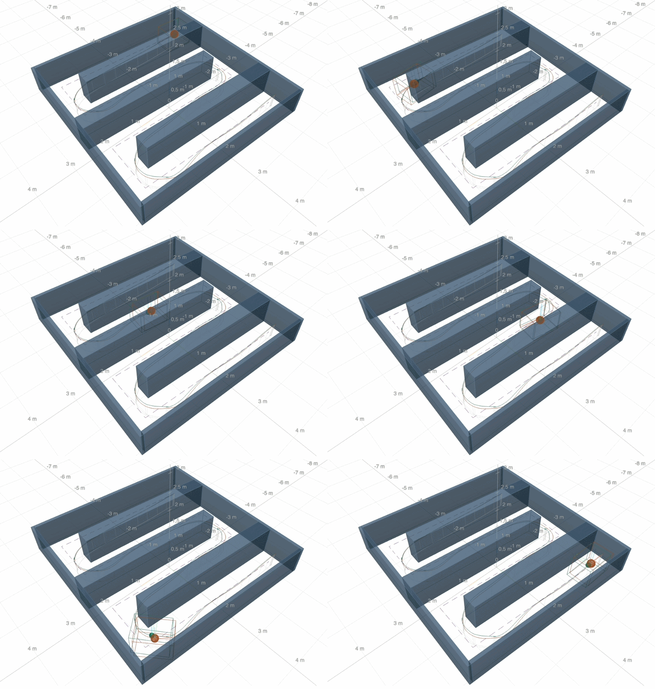
After successfully completing the official challenge run, we used the remaining time to explore another navigation approach. We integrated and separately tested camera-based odometry, which estimates movement using passive visual information rather than actively emitting laser pulses as LiDAR does.
Reducing active sensor emissions can be relevant in defense scenarios, so this was a useful additional experiment. It was not part of the evaluated challenge run but was more of our own personal challenge to take the adaptability of our technology even further and demonstrate how another sensing method could be rapidly added to CHASI’s navigation setup.
Day 3: Sharing What We Learned
The final day was an opportunity to step away from the test course and present our work. We shared our challenge results and introduced the broader ARTI technologies behind CHASI, including our emphasis on modular, adaptable software.
Different vehicles, sensors, and missions come with different requirements. Our aim is not to build a fixed solution for each individual scenario, but to adapt a modular technology base to the specific use case. The completed navigation course was the central result of the hackathon; the testing setup and additional sensor experiments showed how we could adapt around it.
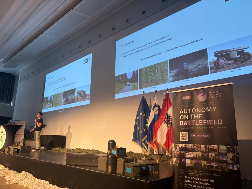
Just as valuable were the conversations throughout the event. We met people working across different sectors, saw a range of approaches to autonomy, and exchanged ideas with teams tackling their own technical challenges.
Three intensive days gave us a successful challenge run, useful test results, and plenty to take back into our work. They were also a good reminder that engineering is as much about adapting to the situation in front of you as it is about the technology you bring with you.
Sometimes that means making a robot navigate a tight course without GPS. Sometimes it also means finding a piece of cardboard.
Thanks to the organisers and everyone we met for an engaging three days in Klagenfurt.