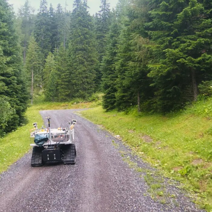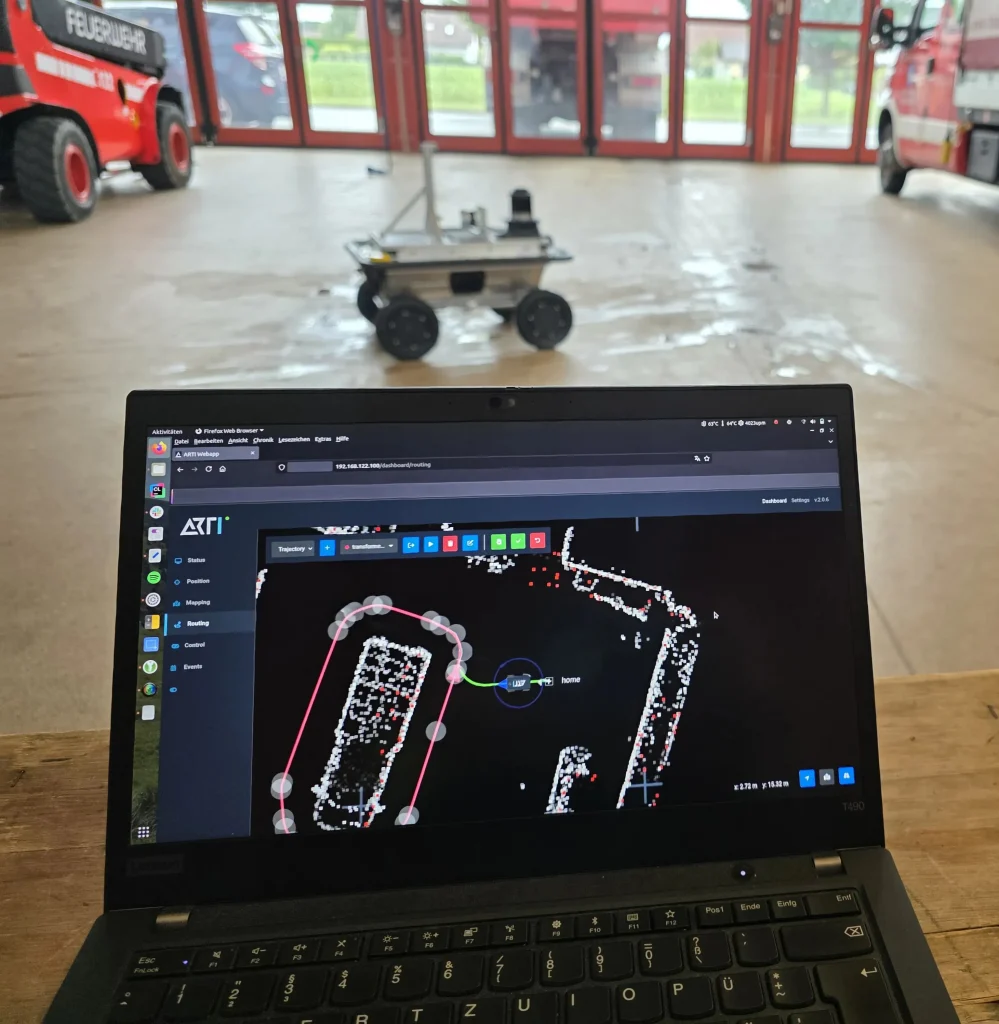


GNSS-Denied Navigation, Part 1
Before an autonomous vehicle can plan a route, avoid an obstacle or complete a mission, it has to answer a fundamental question: where exactly is it?
In outdoor applications, the answer usually comes from satellite navigation. But satellite signals are not always available, and not always trustworthy. How a vehicle continues to localize itself reliably in these situations is the core problem of GNSS-denied navigation.
Localization Is More Than a Position
For an autonomous vehicle, localization means continuously estimating its position and orientation, its motion relative to the environment, its progress along a planned route, and the confidence it can place in each of these estimates.
In outdoor environments, the backbone of this process is typically a Global Navigation Satellite System (GNSS) such as GPS or Galileo.
What GNSS Contributes
GNSS offers two strengths that are difficult to replace.
First, it provides a global position with comparatively little effort. Odometry-based methods only estimate movement relative to a previous position; GNSS, by contrast, continuously re-anchors the vehicle in a global reference frame.
Second, it performs well where other sensors struggle. LiDAR-based localization depends on distinctive structures such as walls, trees or edges. On large, open agricultural fields, these are often absent. GNSS is unaffected by this.
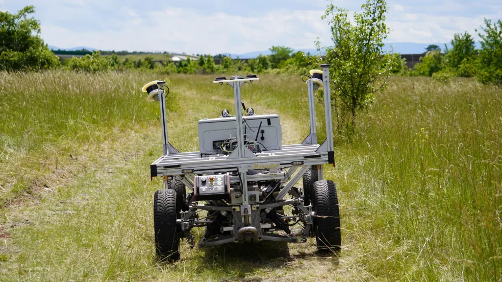
With RTK (Real-Time Kinematic) corrections, GNSS reaches centimeter-level accuracy. Combined with wheel odometry, this is sufficient for autonomous navigation in non-safety-critical environments such as agricultural fields. Adding LiDAR odometry and an inertial measurement unit (IMU) further improves the accuracy and stability of the position estimate.
The Limitation: GNSS Requires Line-of-Sight Reception
GNSS requires direct line-of-sight reception of the satellite signals. In practice, this condition is frequently not met:
- between buildings in urban areas,
- under trees – in forests, but in some cases a single tree is enough,
- in gorges, ravines and caves,
- near large industrial structures such as tanks, pipe racks or buildings,
- in tunnels and at every transition from outdoor to indoor environments.
Under these conditions, positioning quality can degrade significantly or be lost altogether.
Deliberate Interference: Jamming and Spoofing
Physical obstruction is only one part of the problem. In certain regions, deliberate interference with satellite navigation has become a routine occurrence.
Jamming overpowers the satellite signals so that a receiver can no longer compute a usable position. Spoofing goes further: the receiver is fed falsified signals and computes a position that appears plausible but is incorrect.
There are initiatives in Europe addressing this threat. Galileo now provides signal authentication for civilian users, and ESA has tested it at the annual Jammertest campaign in Norway, where receivers maintained their correct position under live spoofing conditions.
This is an important step. However, authentication only indicates that a signal cannot be trusted; it does not provide the vehicle with its actual position. When signals are jammed or blocked, an independent source of localization is still required.
A Shift in the Engineering Question
Autonomous vehicles increasingly operate in environments where GNSS conditions change within a single mission. An inspection robot on an industrial site, for example, may start in the open with full RTK reception, pass between tall structures where signal quality deteriorates, and then enter a hall with no satellite reception at all.
For systems like these, the question is no longer how to navigate with GNSS, but how to continue navigating when GNSS is unavailable, unreliable or deliberately manipulated.
This is the focus of GNSS-denied navigation, and the challenge ARTI will take on at the EUDIS Hackathon in Klagenfurt.
Part 2 examines the methods that allow autonomous vehicles to localize themselves without satellite positioning, and how ARTI combines them.