

GNSS-Denied Navigation, Part 2
The loss of GNSS does not have to mean the loss of localization, provided the system has been designed for that situation from the outset.
Part 1 outlined why satellite navigation fails: obstruction by buildings or vegetation, and deliberate interference through jamming and spoofing. This part looks at the alternatives, their limitations, and how they can be combined into a resilient localization system.
No Single Replacement for GNSS
Every alternative positioning method involves trade-offs. The most relevant approaches:
LiDAR localization with a point-cloud map. The vehicle matches its current LiDAR scans against a previously recorded 3D map of the environment. Advantage: high accuracy, both outdoors and indoors. Limitation: the map must be created in advance and kept up to date.
LiDAR odometry. Instead of matching against a map, the system estimates its movement from the change between consecutive scans. Advantage: no prior map required; works in unknown environments. Limitation: it measures only relative motion, so small errors accumulate over time – an effect known as drift.
Wheel odometry and IMU. Wheel encoders measure wheel rotation; IMUs measure acceleration and rotation rate. Advantage: fast, responsive and always available. Limitation: also subject to drift, and typically reliable only over relatively short distances.
Camera odometry. Comparable in principle to LiDAR odometry, but based on camera images. Advantage: unlike LiDAR, a camera is a passive sensor. It emits no signal, which makes the vehicle harder to detect – a relevant property for security-sensitive applications. Limitation: like all odometry methods, it is subject to drift.
Alternative global positioning. Emerging approaches such as quantum-based positioning could eventually provide a global reference independent of satellites. Advantage: potentially drift-free and independent of external signals. Limitation: still largely at the stage of fundamental research.
The Central Problem: Global Localization
Most of these methods determine how far a vehicle has moved, not where it is in a global reference frame. They can bridge gaps in GNSS coverage, but they cannot replace the global anchor that GNSS provides.
Reliable global localization without GNSS therefore remains an open research question.
ARTI’s Approach: GNSS as One Building Block Among Many
At ARTI, (RTK-)GNSS is not a prerequisite. It is one component within a broader localization framework. Our fusion pipeline combines multiple sources to maintain reliable localization even in challenging environments:
- RTK-GNSS – where line-of-sight reception is available
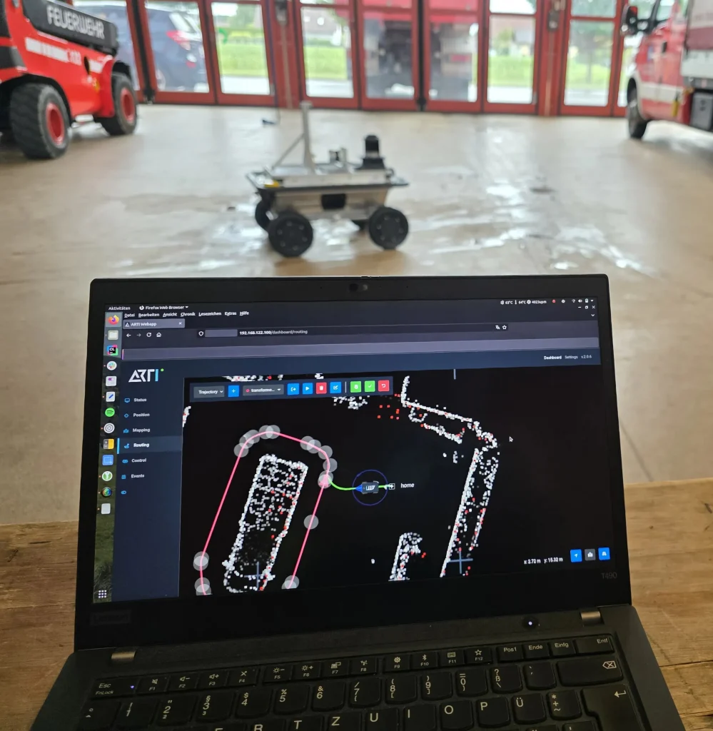
- LiDAR with a static point-cloud map – as an alternative to GNSS and as a complement inside buildings
- LiDAR odometry – to bridge GNSS outages, for example when entering a building
- Wheel odometry and IMU – for short outages and responsive motion estimation
The pipeline is designed to be extended with further inputs: BLE beacons, which we have already used in projects; landmarks of almost any kind, from radio towers to Wi-Fi networks inside buildings; and, in the future, new technologies such as quantum positioning.
In an agricultural application, for example, a vehicle may operate on an open field using RTK-GNSS. Along a tree line, where satellite reception deteriorates, LiDAR and wheel odometry bridge the gap. Inside the machine hall, localization is based on a LiDAR map. Rather than switching between discrete modes, the system continuously uses the best information available.
Self-Diagnosis: Knowing When Not to Trust a Sensor
A resilient localization system must not only estimate a position but also assess the quality of the data on which that estimate is based.
ARTI’s localization therefore monitors itself continuously:
- whether all signals and sensors deliver data at the expected frequency,
- whether sensor values are plausible – within the expected range and free of sudden jumps,
- whether the final, fused position estimate is plausible as a whole.
The aim is to detect problems before they affect the vehicle’s behavior.
How Long Can Localization Be Maintained Without GNSS?
This depends on the sensor configuration, the environment and the vehicle dynamics. In ARTI’s experience, LiDAR odometry remains stable and accurate over distances of a hundred meters and more. Wheel odometry and IMU are typically used to bridge shorter distances.
The Potential of Quantum Sensing
Passive sensors such as cameras and IMUs have a clear advantage: they do not reveal the vehicle’s presence. Their common weakness is drift.
Quantum sensing could address this. Quantum accelerometers aim to measure motion with a precision and long-term stability that could substantially reduce drift, without emitting or receiving any external signal. First prototypes have been tested at sea, and ESA is funding research into hybrid systems that combine classical and quantum inertial sensors.
The technology is, however, still far from being deployable on small ground robots. What it needs now are concrete applications and integration concepts.
Outlook: EUDIS Hackathon Klagenfurt
This is the question behind the GNSS-Denied Navigation challenge at the EUDIS Hackathon in Klagenfurt. ARTI is taking part, bringing what we already apply in practice – sensor fusion, self-diagnosis and localization that does not depend on a single source – and exploring how future technologies such as quantum sensing could close the remaining gaps.
The real test of autonomous navigation is not when GNSS works perfectly. It is when it does not.